Maps for Letters from Mississippi -- 1964-1965
Updated: 23 September 2013
(
Home <
Issues <
Mississippi letters
)
Noting the obvious: These are Google maps from 50 years later than the events described in the letters.
|
State of Mississippi Mississippi Congressional Districts Amory to Columbia (McAtee, 1964) North-central portion Southern portion (1964) Columbia sector (1965) Columbia (1965) Columbia streets Nathan Street corner Courthouse Square Chase (on separate page) |
|
State of Mississippi, putting towns in context  
|
||||||||||
|
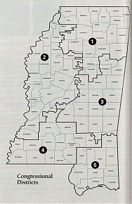
Mississippi Congressional Districts
|
||||||||||
|
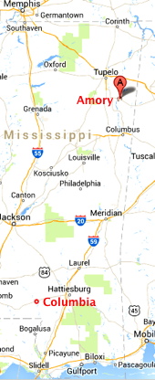
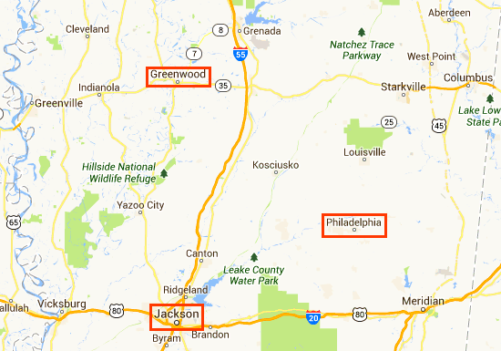
Amory to Columbia
|
||||||||||
|
North Central Mississippi
|
||||||||||
|
Southern/Coastal Mississippi (1964) 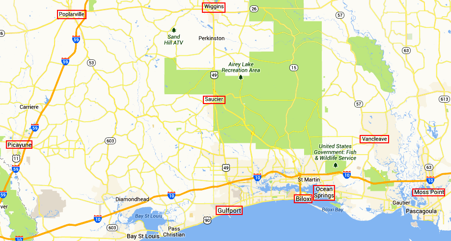 
|
||||||||||
|
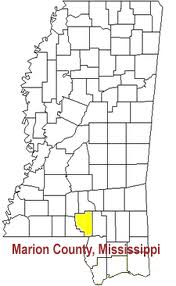
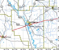
Columbia and Marion County in context (1965)
|
||||||||||
|
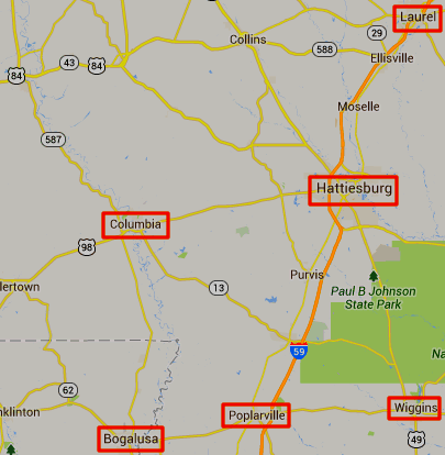
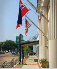
Most of the modern Columbia metropolitan area, where the Confederate flag still flies

|
||||||||||
|
Area in which we worked 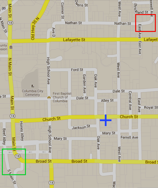 
|
||||||||||


|
MFDP HQ on Nathan Street (X) 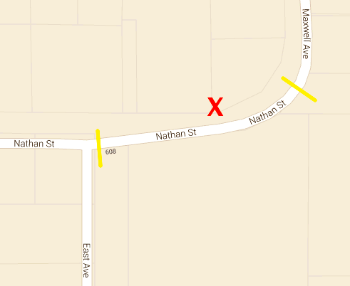 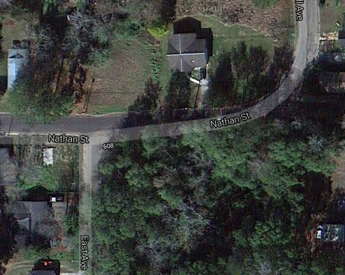 
|
|
Marion County Courthouse (X) 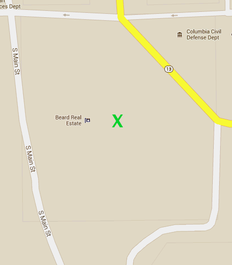 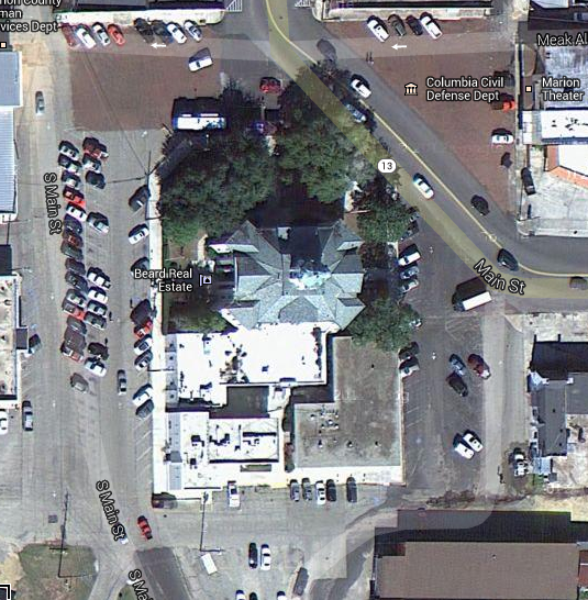
|